

The Berlin Conference Mapmakers: Drawing Lines on Africa
Notas do episódio
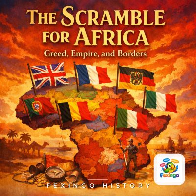
In this episode of Fexingo History, Lucas and Luna explore the human mechanics behind the infamous Berlin Conference of 1884-1885. While previous episodes have touched on the political maneuvering of Otto von Bismarck and the devastating impact on African sovereignty, we focus specifically on the cartographers and explorers who turned diplomatic treaties into physical reality. We examine how figures like Henry Morton Stanley and George Taubman Goldie used rivers, latitude, and longitude to slice up a continent that had no such grid. The conversation delves into the specific borders drawn for the Royal Niger Company’s territory, the contested status of the Witu Sultanate, and the concept of effective occupation that forced European powers to plant flags rather than just sign papers. Listeners will discover how abstract lines in Paris became brutal realities on the ground, reshaping the Sokoto Caliphate and the Wassoulou Empire overnight. This is a deep dive into the geometry of empire and the men who held the pens.
#BerlinConference #ScrambleForAfrica #ColonialHistory #HenryMortonStanley #GeorgeTaubmanGoldie #RoyalNigerCompany #WassoulouEmpire #SokotoCaliphate #EffectiveOccupation #GeneralActOfBerlin #AfricanBorders #Cartography #Imperialism #Kongokonferenz #GermanEastAfrica #Nyasa #WituSultanate #HistoryPodcast #FexingoHistory
Todos os episódios de The Scramble for Africa: Greed, Empire, and Borders — Fexingo History